
Times Spent Outdoors: Priceless!
Times Spent Outdoors: Priceless!
A Short But Sweet Off-Road Trip Near Mormon Lake
The road near the bottom of this map highlighted in orange is our route on FR 127. This is from the National Geographic map of Flagstaff and Sedona.
Mochi chasing frogs at Lee Spring.
The lookout tower on Lee Butte is in the Historic Registry - it’s one of only three such towers built in Arizona.
The cabin at Lee Butte lookout.
The cabin at Lee Butte Lookout is locked, but it’s still fun to look through the windows!
Little Daisy Tank. It’s so nice to get out and walk around where it’s cool and smells like pine trees!
A magnificent juniper among the pines.
This photo is not the best, but look closely and you can see a mama turkey and her poults. There must have been a dozen little ones!
Flower in the pine needles.
I don’t know what these are called but they sure are pretty.
We always called these Indian Paintbrush.
The well by the Lee Butte cabin still has water in it. And lots of flying insects!
Mochi loves off-roading! Note - all photos were by John and Margie Anderson.
When I was a kid, my dad always took us kids hunting off Dugas Road. There used to be a dirt road and a gate right on the side of I-17 and that road led to Hooker Tank, and from there over the hill to road 68D which goes from Dugas Road north to Squaw Peak Road. We loved it there and since we went there so often we all knew that area very well. There's a lot to be said about knowing all the best and prettiest places in an area, but after I married John I learned that going to different places all the time can be even more fun. We love to explore!
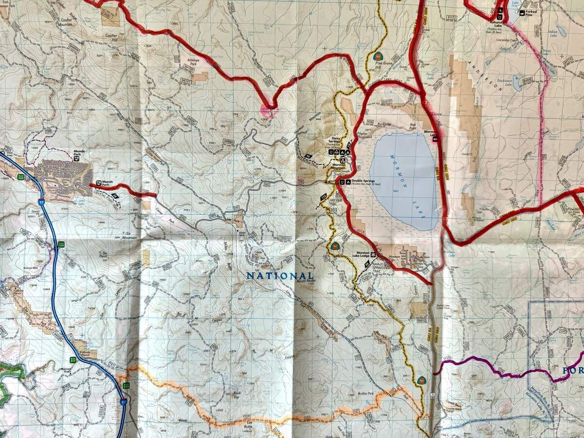
The road near the bottom of this map highlighted in orange is our route on FR 127. This is from the National Geographic map of Flagstaff and Sedona.
You'd think that since I was born here and I've been hunting and camping all my life, that I would have been everywhere by now. No way! Even in areas that you've been to before, it seems like there is always a new trail to investigate, and when John and I and Mochi go out in the Jeep, we always find fun roads with interesting stops along the way. FR 127 up near Mormon Lake is an example. We've been on a lot of roads around Apache Maid and Mormon Lake, but there are so many I don't think we'll ever see them all. But I sure am happy to try!
You won't need a 4WD vehicle for this road, but you'll need high clearance. When you exit at Rocky Park Road the road comes to a T right away and you'll want to head north (left). Of course you're in forest all the time here and we stopped pretty quickly to let Mochi out to run around while we filled our coffee cups and got ready to explore. This was just last month (May) so there were lots of flowers around, which I always enjoy.
The road goes north for just a ways, swings east, then heads north again and intersects FR127. This is the road we took. Hang a right so you're headed east on 127. There are a lot of roads that branch off from this road, and we definitely want to come back and explore some of them, but the first time we take a trail, we like to stay on track because you never know if you're going to hit a rough spot, get a flat, or whatever.
On the map photo I highlighted 127 in orange and it's right near the bottom of the photo. You can see how close you are to Mormon Lake and County Road 3 which takes you to Flagstaff or down to 87 and 260 to Payson or Camp Verde. So you're really in the thick of things but on this road you feel as if you have the whole forest to yourself. We went on a weekday and never saw another vehicle. It was lovely.
LEE SPRING
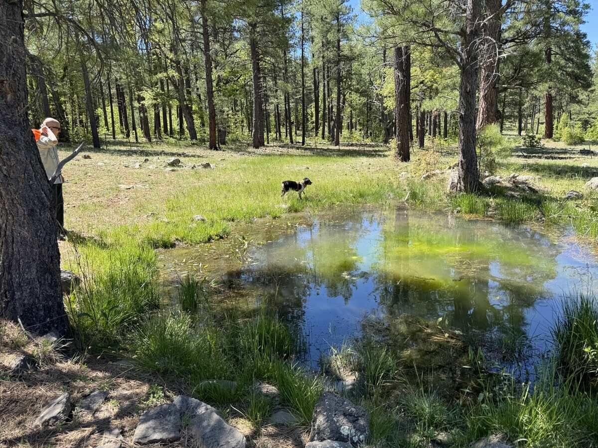
Mochi chasing frogs at Lee Spring.
I can never resist a spring that is close enough to investigate, and Lee Spring was no different. I spotted it on my TopoMaps App and it was just south of 127, so we swung over and got out to walk over to it. There are some old concrete boxes like troughs in the middle of a little meadow and I thought they marked the spring, but when I got to them there was no water.
But John and Mochi had headed over to a barbed wire fence and on the other side of it was the spring. This is one spring that didn't disappoint – Lee Spring is a small round pond surrounded by green grass and trees. Mochi loved it because it was full of little frogs. Wherever she went on the edge of the pond frogs would leap off the bank and into the water. She chased them happily for quite a while. It was so pretty and peaceful there that I hated to leave, but we wanted to see the rest of the road so we headed back to the Jeep and onward.
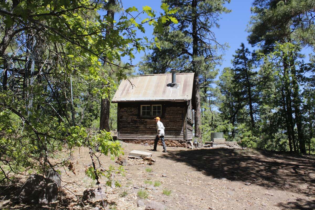
LEE BUTTE
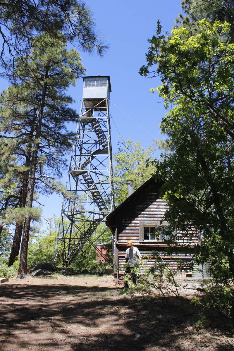
The lookout tower on Lee Butte is in the Historic Registry - it’s one of only three such towers built in Arizona.
About a half mile past the spring there is a road (127D) that goes south to the top of Lee Butte. I saw on the map that there is a Lookout there, so we drove to the top. Like most roads that go to lookouts, this road wound around the hill and was narrow in places, so you're hoping no one is coming the other way. But no one was, and we made it to the top in just a few minutes.
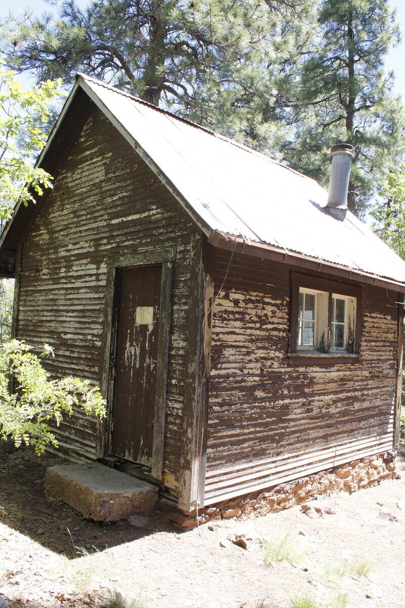
The cabin at Lee Butte lookout.
At the top was the lookout tower, a cabin, a big fireplace, a well, and a bunch of mysterious foundations and things that might be part of a previous lookout. The lookout is no longer in use and the gate to the stairs has a sign warning of danger. Trust me, one look at those stairs and no one had to tell me not to climb them!
The cabin was locked, but it was cool and shady up there. A lot of pollinators were hanging around the well – everyone needs water – so we went over by the big fire place and had our lunch there at the top of the Butte. There are views here and there through the trees, but nothing like I bet it is from the top of that lookout!
The cabin at Lee Butte Lookout is locked, but it’s still fun to look through the windows!
When I got home I looked up Lee Butte Lookout and found out that it is on the National Historic Lookout Register. It's at an elevation of 7,385 feet and is a 46 foot International Derrick Tower with a 7'x7' cab and was built in 1933. It is one of only three of that design in Arizona and it's listed on the National Register of Historic Sites along with the ground house (cabin). Pretty cool!
LITTLE DAISY TANK
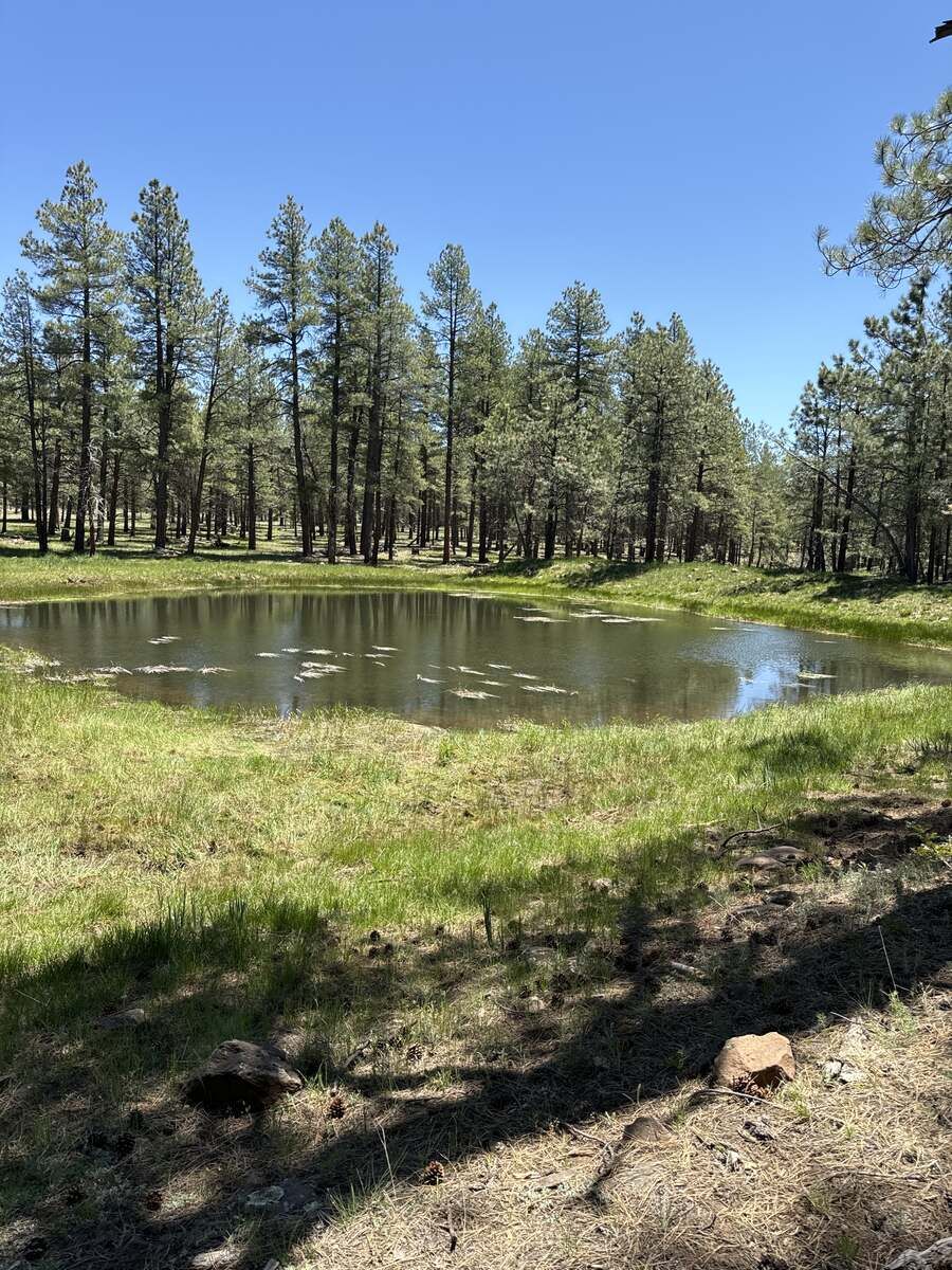
Little Daisy Tank. It’s so nice to get out and walk around where it’s cool and smells like pine trees!
Tanks are like springs in that you never know if there is water in them unless you go look. You also never know what they'll look like. I've seen plenty that were simply muddy circles with brown water surrounded by cow poo, but then I've seen many that turned out to be so pretty they look like little lakes. Little Daisy Tank is one of the pretty ones.
We could see the tank from the road so we pulled over and walked out to it. It's a peaceful round pond surrounded by bright green grass and pine trees. Very nice. Again, Mochi had a blast running in and out of the water – you can't keep a Brittany out of water, so don't even try! It made for a nice little walk and John showed me how many times he can skip a stone – very impressive!
BROLLIAR PARK
By the time you leave Little Daisy Tank there's only about 4-5 miles left of 127, and just before it T's into FR91 there is a pullout on the north side of the road that has a lot of places where people camp. There's a large meadow there called Brolliar Park, but it's fenced off so you can't drive into it. My map shows a fairly big body of water in there without a name, but we couldn't see it from the road.
From there it's just a hop skip and a jump to where 127 joins 91, so turn right there (east) and you'll end up on Lake Mary Road, also known as County Road 3. Turn left to go to Mormon Lake and Flagstaff, right (south) to go to Highway 87 and 260. We went south, but only to Stoneman Lake Road, which we took to I-17 to head home. Of course we stopped at the overlook, and this was the second time in my life that I've seen water in Stoneman Lake. It's beautiful!
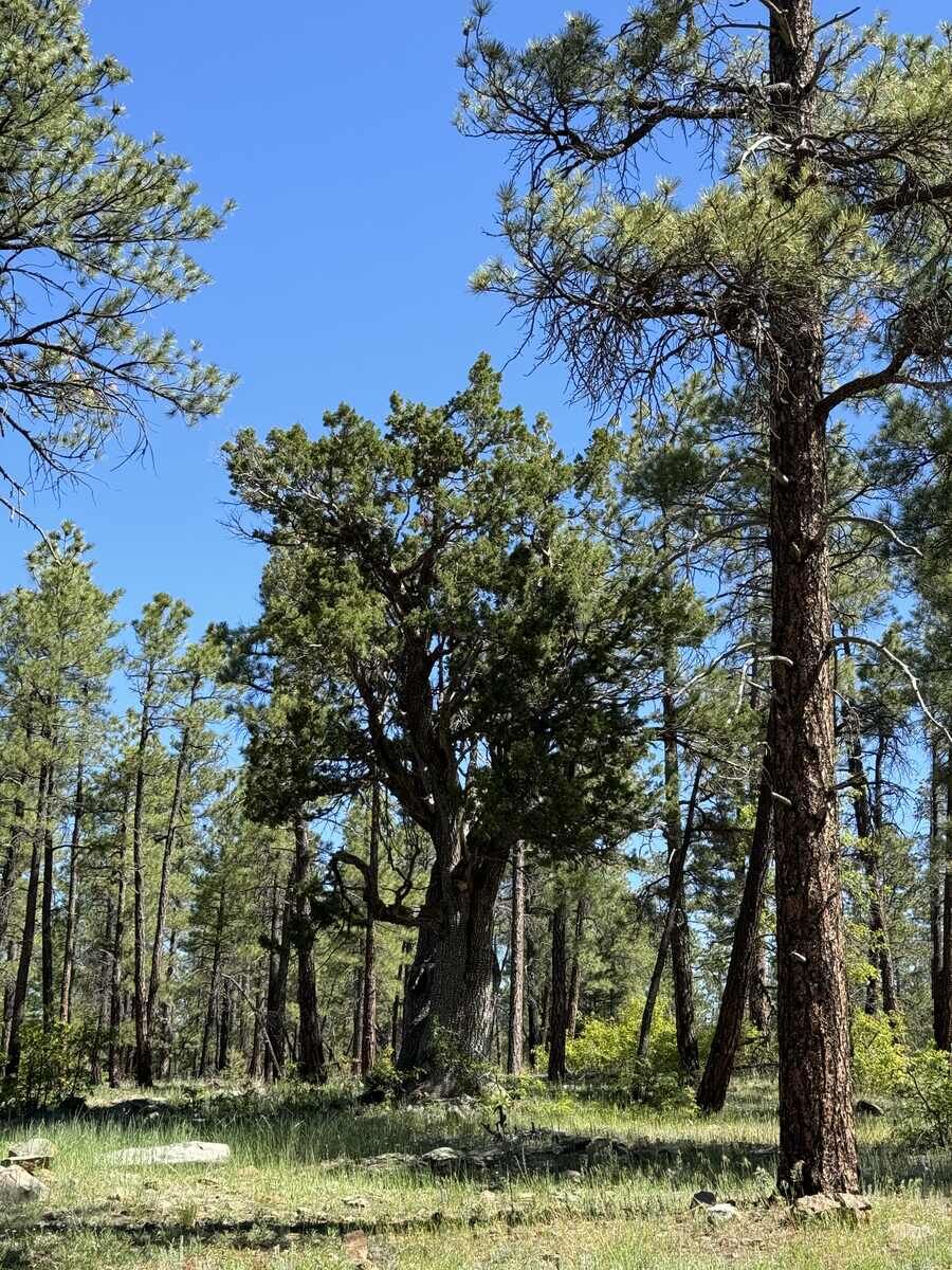
A magnificent juniper among the pines.
This drive was short but had so many cool things to see! We had left the house in Sun City at 6:30 am and got home around 4. If you get a chance, head up there and check it out. Please leave it as beautiful as you found it, and stay on the roads! Thanks!
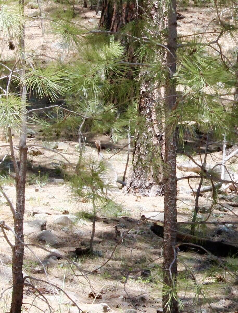
This photo is not the best, but look closely and you can see a mama turkey and her poults. There must have been a dozen little ones!
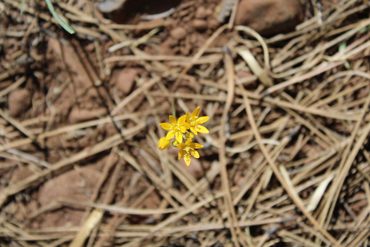
Flower in the pine needles.
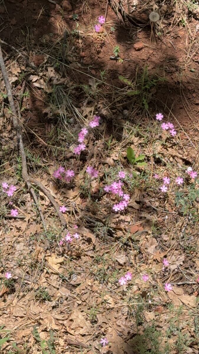
I don’t know what these are called but they sure are pretty.

We always called these Indian Paintbrush.
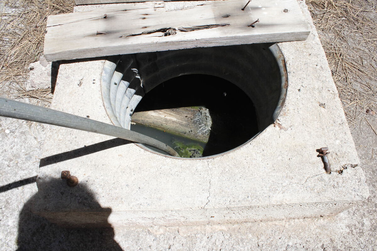
The well by the Lee Butte cabin still has water in it. And lots of flying insects!


Reader Comments(0)